Escape and Evasion Compass & MI9 Silk Escape Map of Greece 1941
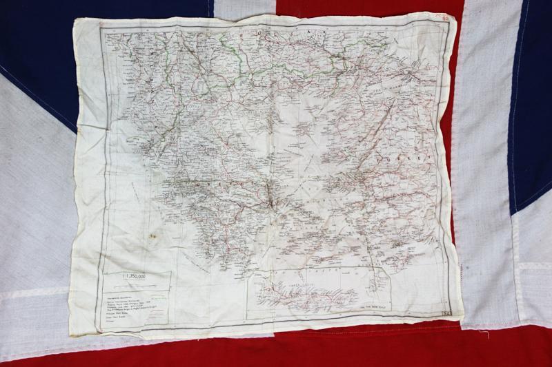
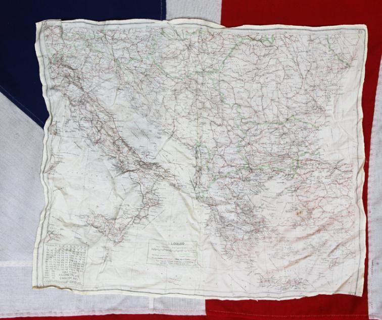
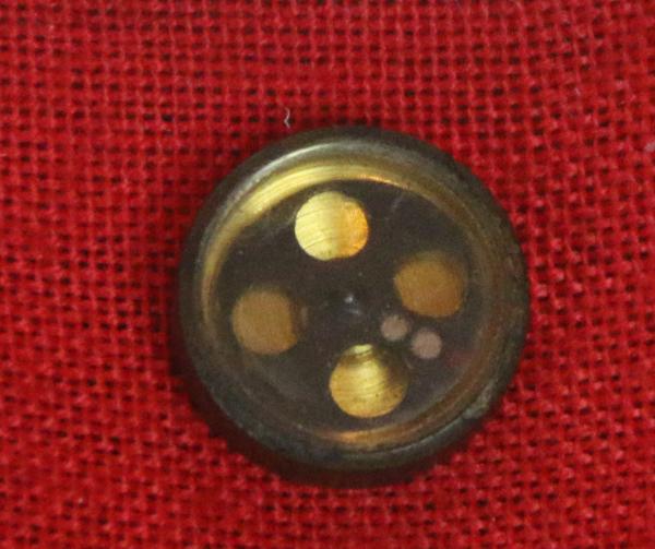
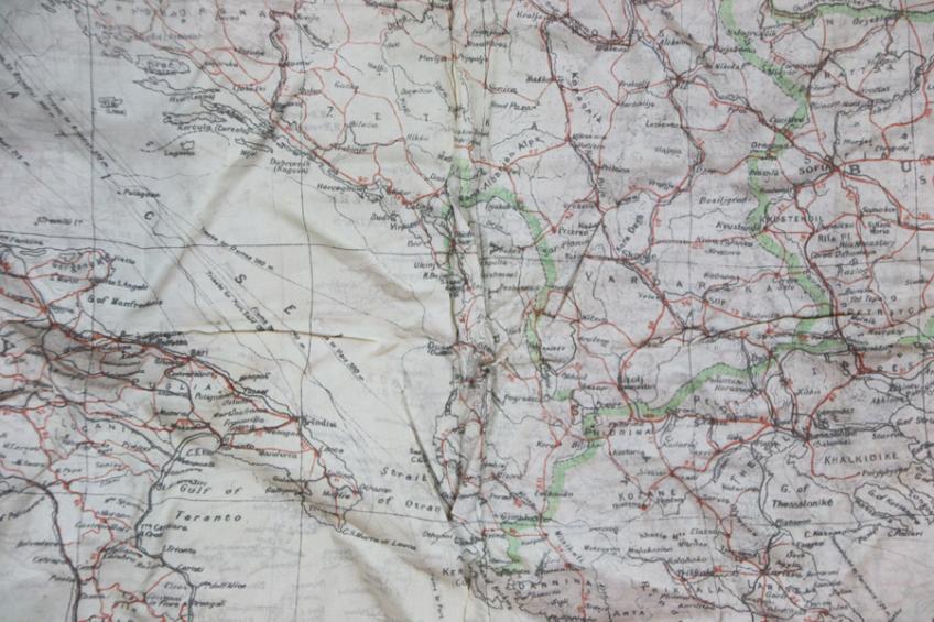
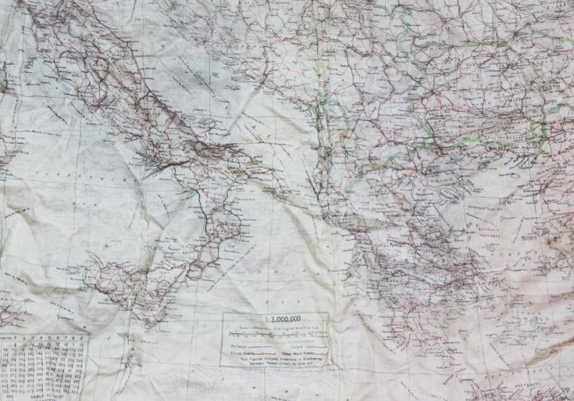
Double sided, black printed, with colour, silk escape map of Greece, Crete, Bulgaria, Italy Bulgaria Rumania, Austria Hungary etc. effectively the eastern Mediterranean. With the owner's rare MI9 SOE/OSS early pattern compass. Designed to conceal in a button. From an RAF veteran involved in SOE agent drops behind enemy lines in occupied Greece and Crete.
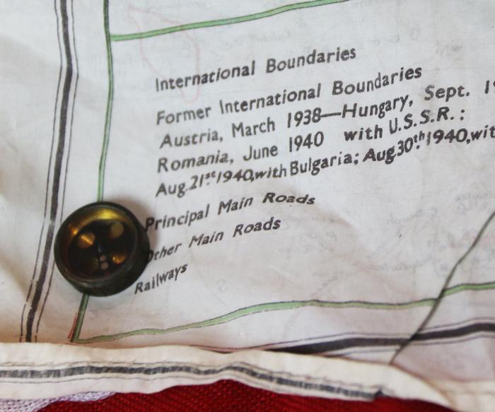
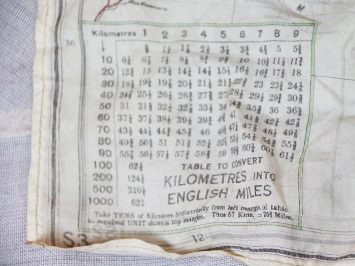
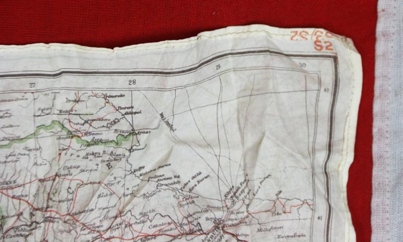
One side, marked 'S2', on a scale of 1:175,000, shows Greece and Crete in detail. The other side, marked 'S3', on a scale of 1:3,000,000, shows Italy, Greece, the Balkans and the Aegean Sea. There is a key in the lower left corner of 'S3' to convert kilometres to English miles. These silk maps were developed for MI9 by Charles Clayton Hutton to help British troops find their way back to their regiments if their planes were shot down in hostile territory or if they were captured in POW camps. Hutton had to find a material that was water-resistant, crease-resistant, and could be easily hidden and noiselessly manipulated. After extensive testing, Hutton found the perfect material: silk. Printed on silk, Hutton’s maps could be folded and hidden in boot heels, jacket linings, or even-most ingeniously-Monopoly game boards, and go completely undetected. ‘Bartholomew’ maps
The earliest E&E maps produced by MI9 were based on maps of Europe published by John Bartholomew and Son. ‘Bartholomew’ maps were initially printed on silk, but some later issues may be on rayon. These are usually simple black and white maps, with little to no extra colour. Maps covered Western Europe (including the Mediterranean), Eastern Europe, the Middle East, the Malay Peninsula, North Africa and other parts of Africa. They are undated, sometimes untitled and usually have a numbering system of an upper case letter combined with a number, or just a letter. Later maps have some extra colour and are printed on silk or rayon. The maps were printed by John Waddington – the maker of Monopoly and other board games. Another identical example as this is in the Australian War Museum and was the escape map that was used in Greece by NX3048 Sergeant Richard Sydney Turner who was born in Sydney in 1916. He enlisted on 28 October 1939 and served with 6 Division Supply Column, Australian Army Service Corps. After service in Africa he was captured by the Germans near Megara during the Greek campaign in June 1941, but escaped from the train taking him to Germany. He was initially sheltered by the Greeks but this became too dangerous when Italian troops offered large rewards for the capture of Allied soldiers and threatened to shoot anyone harbouring them. Turner and a companion hid in the mountains south of Thessaly during the winter of 1941-1942. Weak from malnutrition and malaria he was considering of giving himself up when he met Ioannis Kallinikos from the village of Livanatas, who sheltered him for the next year and a half. Turner joined the Greek resistance in the summer of 1943 and led a band of fifty Greek andartes. He later joined the British Military Mission in Greece (Force 133), which operated behind German lines. He was awarded the Military Medal for his endurance and service in Greece. Turner was killed by Greek communist insurgents, during the civil war which broke out in Greece following the withdrawal of the Axis forces, on 17 December 1944 while in a truck on his way to Athens airport to be repatriated to Australia. The map is in excellent condition just in need of light ironing.
Code: 23547

